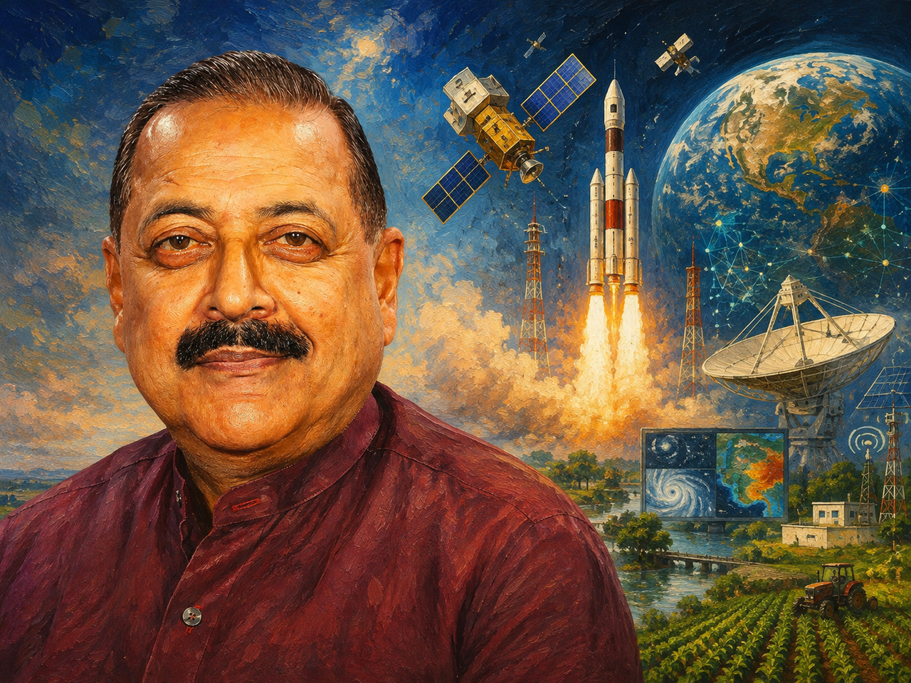

From crop mapping and disaster alerts to NavIC, BharatNet, 5G/6G and satellite-based services, India is turning space infrastructure into a wider layer of its digital and economic infrastructure.
India’s Space Vision 2047 is beginning to look less like a roadmap for future missions and more like a plan for putting space technology into the machinery of everyday economic life.
A written reply in the Lok Sabha by Minister of State for Space Dr Jitendra Singh on Wednesday showed the breadth of that transition. ISRO and the Department of Space are already using satellite systems for crop mapping and yield estimation, disaster response, climate monitoring, rural development and connectivity. The next phase will push deeper into direct-to-device communication, 5G/6G non-terrestrial networks, high-precision NavIC services, indigenous satellite navigation chips and quantum-secure communications.
That is a significant change in how India’s space programme should be viewed.
The satellite is no longer just the endpoint of a launch mission. Increasingly, it is becoming infrastructure for decisions made on the ground.
A crop insurance assessment, a flood warning, a rural road map or a navigation signal may have little visible connection with a space programme. Yet each increasingly depends on the data and services coming from it.
For India, the larger bet is whether that infrastructure can become as embedded in the economy as telecom networks and digital payments have become.
/fit-in/580x348/filters:format(webp)/tice-news-prod/media/media_files/2026/08/12/india-space-vision-2026-08-12-16-13-40.png)
The Farmer May Be One of Space Technology’s Biggest Users
Some of the most practical applications are already in agriculture.
During 2026, ISRO and the Department of Space have undertaken national-level mapping of sown and harvested crop areas across two seasons, including all-India mapping of Kharif rice, wheat and jute. Satellite-based systems are also being used for national crop-yield estimation for rice and wheat.
The applications become more granular at the state level.
Technology support has been provided for mapping soybean, cotton and paddy in Maharashtra, and soybean, wheat, gram, mustard and paddy in Madhya Pradesh. Crop-yield estimation at the insurance-unit level is being undertaken in 10 states to support the Pradhan Mantri Fasal Bima Yojana. Jute surveillance is also being carried out across Assam, Bihar, Odisha and West Bengal.
This is where the economic value of satellite technology becomes clearer.
A satellite does not improve a crop by itself. But better information about what has been planted, how much has been harvested and where weather or other risks are affecting production can improve the quality of decisions made by governments, insurers and agricultural agencies.
The FASAL 2.0 programme is being implemented for agricultural output forecasting, while GeoCrest on ISRO’s VEDAS platform is being used for operational crop monitoring and yield assessment.
The important shift is from collecting images to building systems around them.
That is where the commercial opportunity begins to emerge.
From Flood Maps to BharatNet, Space Is Entering Government Infrastructure
Disaster management offers another example of the same transition.
Earth Observation satellites are being used for near-real-time monitoring of floods, landslides, cyclones, forest fires, Glacial Lake Outburst Floods and droughts. The resulting information is made available through Bhuvan and the National Database for Emergency Management.
The Department is also supplying satellite-derived geospatial products to central ministries, state disaster-management authorities, district administrations and other departments for preparedness, response, damage assessment and recovery planning.
The significance is easy to miss because the technology disappears into the administrative process.
The same is happening in development programmes. Geospatial technology is being used to plan and monitor MGNREGA activities, watershed development, urban housing, rural roads, agricultural assets and green cover along national highways.
Satellite communications are meanwhile becoming part of BharatNet and Digital India, extending connectivity to gram panchayats and supporting applications ranging from broadband and government services to tele-education, telemedicine, disaster management and maritime and in-flight connectivity.
This is perhaps the less glamorous side of India’s space programme.
There is no countdown and no dramatic launch image.
But economically, this layer may prove just as important.
/fit-in/580x348/filters:format(webp)/tice-news-prod/media/media_files/2026/08/12/indian-space-story-2026-08-12-16-14-14.png)
The Next Opportunity May Be in the Data, Not the Satellite
India is also trying to make its Earth Observation ecosystem easier for researchers, companies and public institutions to use.
Under the Indian Space Policy 2023 framework, Indian Earth Observation data with a ground sampling distance coarser than 5 metres is available openly and free of charge. Products derived from that free data are also disseminated without charge. Data finer than 5 metres is available free to government users and at fair prices to non-government users.
ISRO is also improving web interfaces and operational access through platforms such as MOSDAC and VEDAS, while providing an on-demand processing platform for cloud-based requirements.
That matters for the private sector.
The government does not have to build every application that can be created from satellite data. Its larger role may be to make the underlying data and infrastructure accessible enough for companies, researchers and institutions to build on top of it.
That could open opportunities across agriculture, insurance, logistics, infrastructure, climate-risk assessment, mining, urban planning and natural-resource management.
In other words, the satellite may be the infrastructure, but the application layer is where much of the private-sector value can emerge.
More than 15 MoUs have already been signed by ISRO/DoS with central and state departments for applications spanning crop mapping, climate and disaster-risk assessment, satellite-based weather forecasting, water-resource monitoring and mining.
That is an early indication of how space technology is moving into sector-specific markets.
India Wants Its Own Communications Stack in the Next Decade
The more ambitious part of the Space Vision 2047 roadmap lies ahead.
India is developing indigenous technologies for flexible satellite payloads, direct-to-device communication and non-terrestrial networks using 5G/6G standards. Work is also underway on NB-IoT over satellite for machine-to-machine communication and multi-orbit broadband terminals with beamforming capabilities.
The roadmap also includes optical and laser communication ground infrastructure, quantum key distribution systems and plans for sovereign N-GSO constellations for broadband services.
This takes the space programme into a much more competitive technology market.
The question is no longer only whether India can put a satellite into orbit. It is whether Indian companies can build the terminals, chips, networks and applications that make those satellites commercially useful.
That is a far larger industrial opportunity.
NavIC Is Being Pushed From a Navigation System Into an Ecosystem
Navigation is another area where the government’s ambitions extend beyond operating a satellite constellation.
The roadmap positions NavIC as a primary positioning, navigation and timing service across transportation, logistics, aviation, maritime, railways, defence, agriculture, disaster management and smart-city applications.
The next stage involves developing receiver technologies for Precise Point Positioning and Real-Time Kinematics, which could expand NavIC’s use in high-accuracy applications.
Integration with 5G and 6G is also planned.
More importantly, the government wants indigenous NavIC-enabled GNSS baseband ASICs, bringing the navigation system into the semiconductor layer as well.
That could matter more than the navigation signal itself.
For a sovereign technology ecosystem to become commercially successful, it needs hardware manufacturers, device makers, software developers and industry standards—not just a government-operated constellation.
The roadmap explicitly recognises this, with plans to expand the NavIC constellation, improve signal diversity and accuracy, increase coverage, encourage integration into consumer devices and critical infrastructure, strengthen domestic chipset and receiver manufacturing, and support a larger private-sector application ecosystem. It also envisages steps towards lunar positioning, navigation and timing.
/fit-in/580x348/filters:format(webp)/tice-news-prod/media/media_files/2026/08/12/india-space-vision-2047-2026-08-12-16-10-06.png)
The Space Vision Will Be Judged by Adoption
This is perhaps the biggest change in India’s space story.
For decades, the country’s space achievements were measured through missions: satellites launched, launch vehicles developed and scientific milestones reached.
Space Vision 2047 is beginning to introduce a different measure of success.
How many farmers use satellite-derived information? How many disaster agencies depend on it? How widely is NavIC integrated into devices and infrastructure? How many businesses build products around Earth Observation data? How deeply does satellite connectivity extend digital services?
Those questions shift the conversation from space as a destination to space as infrastructure.
And that is where the economic stakes become much larger.
India has already built substantial capabilities in space. The next challenge is to make those capabilities useful at scale—across farms, factories, telecom networks, logistics systems, public services and private businesses.
If that happens, the most important outcome of Space Vision 2047 may not be a single landmark mission.
It may be that by 2047, millions of Indians use space-enabled services every day without even thinking about them.
That would be the point at which India’s space programme stops being an exceptional national capability and becomes an ordinary part of the country’s economic infrastructure.